


Smart delivery of Lima’s new terminal
Share
Vicki Speed tells us more about some of the project enhancing technologies used in the construction of Lima Airport’s new terminal.
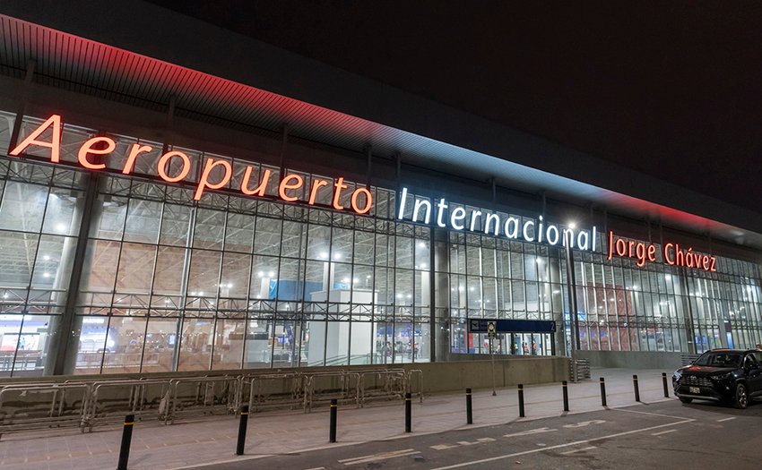
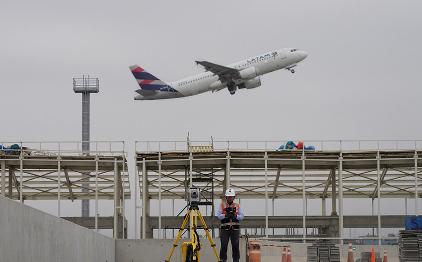
Lima’s Jorge Chávez International Airport is undergoing a massive expansion programme to become an ‘Airport City’.
Unique in South America and inspired by airports in Europe such as Zurich, Paris, Amsterdam and Frankfurt, the design and construction of this Airport City concept is based on three fundamental pillars – Peruvian identity, development and passenger experience.
Third-party investment for the construction of the Airport City will exceed $400 million in the first phase, in addition to the $2 billion that operator, Lima Airport Partners (LAP), is investing in the expansion project overall.
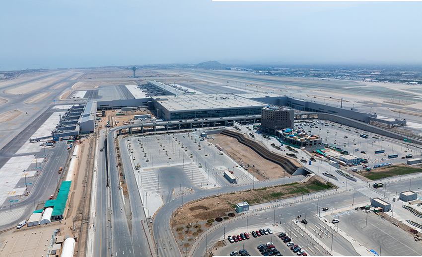
A critical piece of the Airport City concept is a second runway and new 270,000-square-metre passenger terminal, which have equipped the gateway to handle up to 40 million passengers a year.
LAP selected the Inti Punku consortium, which includes Spain-based SACYR and Peruvian-based Cumbra, to engineer and construct the new state-of-the-art passenger terminal, which officially opened in 2025.
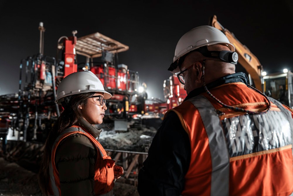
Just as impressive as the scope and scale of the modernisation project are the means and methods the project team put in place to deliver the new terminal.
From the building information model (BIM) development to the advanced surveying, grade control and co-ordination techniques in the field, this airport terminal landed its objectives with smooth precision.
MODEL MODS AND MIX-UPS
The scope of the terminal project covered all the earthwork, infrastructure and building construction needed to build the new airport facilities, including a large parking lot and taxiways, asphalt paving in terminal and commercial areas, and the installation of underground utilities.
Carlos Ruiz Miranda, chief surveyor with SACYR, who joined the project about a year into the programme, said: “One of the main concerns was synchronising design data and information flow between the field and office to facilitate the execution of the project.”
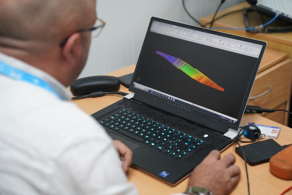
Notably, the project was 100% designed to the latest BIM standards, which involved around 2,700 active BIM models that included more than 80km of utilities being constructed by multiple contractors.
“With this many BIM models, trying to ensure that everyone in the field was working to the latest model or geometric modification, even just managing survey control, stakeouts and grade checking, was proving to be a challenge,” said Ruiz. “We needed a way to better share data.”
The engineering team relied on design review and cloud-based collaboration software to co-ordinate design – but these tools didn’t have the features to connect the field and office, according to Ruiz.
He subsequently led the implementation of a fully synchronised field-to-office-to-field digital workflow that directly improved co-ordination and productivity across departments and kept the project on track.
DIGITAL SYNCHRONICITY
The first step in Ruiz’s plan was to implement a cloud-based common data environment (CDE).
“CDE technology provided us with a centralised collaboration platform. It synchronised all the right information at the right time, and provided automatic interference reviews while supporting CAD analysis,” explains Ruiz.
“The construction crew and field surveyors had everything synchronised in that platform. Information was automatically available in near real-time.”
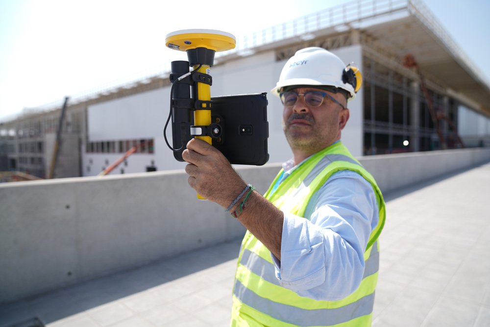
This CDE would quickly become a central hub for managing data from field solutions that included laser scanners, uncrewed aerial vehicles (UAVs), grade control systems, total stations and GNSS systems that gathered positional data to centimetre accuracy.
It also covered a range of heavy equipment from excavators to paving systems, which were all equipped with machine control systems.
HIGH PERFORMANCE PAVING
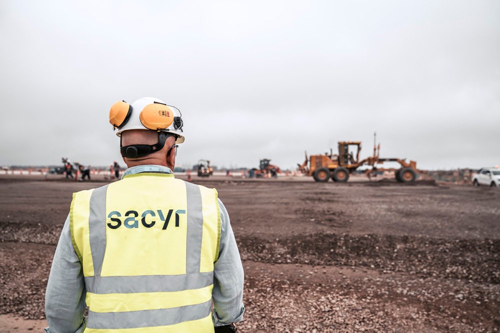
A critical part of the terminal expansion was the airside airplane parking areas around the terminal.
It was an area that required about 70,000 cubic metres of concrete and asphalt. The team used grade control on a Cat 140K motor grader to meet the strict tolerances on sub-base and base layers and a paving control system on an asphalt paver for improved accuracy and quality control.
A wireless data transfer software facilitated the movement of data from the office to the machines at the jobsite. It helped crews ensure the most current models were loaded on the machines and the as-built conditions met the tight specifications as defined by the owner.
Another productivity and real-time progress tracking software tracked jobsite productivity.
“The combined paving and grading systems allowed us to work in large areas with efficiency and accuracy,” notes Ruiz. “We saw a significant reduction in rework because the deviations from design grades were minimised.
“Analysis showed that our crews paved to 10-millimetre accuracy, well below the 18-millimetre requirements. If there were issues, the near real-time data collection and reporting tools allowed us to identify and resolve them quickly.”
AUGMENTED REALITY CONNECTIONS AND CORRECTIONS
With so many pieces to this project in the terminal and surrounding areas, the SACYR survey team found that one of the most essential technologies to facilitate the office-to-field data workflow was augmented reality (AR).
“Initially, we tried using paper printouts to manually check for issues in the field; we tried Google Earth, but that was not satisfactory,” stated Ruiz.
Instead, SACYR turned to purpose-built augmented reality software to collaborate and manage tasks between all the different groups and departments of the project with real-time visualisation of data to support decision-making and provide insight into potential issues.
“Using AR software on infrastructure projects offered significant advantages. It facilitated accurate, real-time visualisation of data, improved decision-making and planning and allowed for effective communication between teams, reducing errors and costs,” commented Ruiz.
“In addition, it improved efficiency and precision in project execution, which translated into a higher quality result and shorter deadlines.
“In short, AR technology is a valuable tool for optimising the management and execution of infrastructure projects.”
Indeed, the technology allowed for tasks to be assigned, and statuses tracked to help co-ordinate work across teams.
As a result, Ruiz said that he found that any issues or anomalies detected during construction could be more easily communicated and addressed.
It also helped synchronise inspection/quality check processes to ensure that all parties were using the latest information.
“On this project, it was an important tool for managing the many moving parts and stakeholders,” said Ruiz. “The visual interface provided a terrific oversight of project progress.”
Summing up, he said: “The use of technology on this project, and more importantly our digitally connected workflow, helped us manage the many pieces of this massive effort in a more collaborative manner.
“This ensured better organisation of the information in general, which reduced human error and greatly improved access. Bottom line, the entire team was just better connected.”


